


3 Things To Know:
- Severe storm chances emerge, particularly Thursday morning and evening.
- Unseasonably warm and muggy conditions persist, with heat indices reaching the upper 90s.
- Watch for potential strong storms with gusty winds and heavy rain.
Current Conditions

Unseasonably warm and humid weather is expected to continue across Southeast Wisconsin throughout the day. Today’s temperatures are expected to reach the upper 90s, with heat index values potentially nearing 100 degrees in areas with ample sunshine. However, those further north of I-94 may experience slightly cooler temperatures due to lower dewpoints, making feels-like temperatures more manageable.
Storm Chances on the Horizon

The conditions today might remain dry until later in the evening. However, as a stationary front lingers in the region, occasional storm chances will arise, particularly focusing on south-central Wisconsin. Expect the initial chance of rain and storms to increase from tonight into early Thursday morning. Most areas will have a low probability of rain until we get closer to the evening hours.
As stated in the National Weather Service discussion:
“Overall for Thursday the early morning hours and overnight hours will be the times to keep an eye on for rain/storms.”
Focus on Thursday Weather
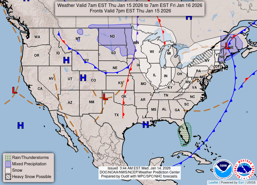
The morning hours into the afternoon on Thursday will carry a better chance (40-60%) for rain and thunderstorms, especially in southern regions of the state. A shortwave aloft will help bring the necessary upward lift for storm development. With high moisture levels present, organized thunderstorms cannot be ruled out.
As the day progresses, conditions may warrant further monitoring, as the potential for strong winds and possibly small hail could accompany some of the storms. Track watches, warnings and live radar with the Wisconsin Weather Now LIVE STREAM!
The Extended Forecast
Heading into Friday and beyond, the warm and humid conditions are expected to linger across southeast Wisconsin. Similar patterns for storm development are likely, with high temperatures remaining in the 80s and dewpoints sticking around the upper 60s to 70s. The unsettled nature of the weather could result in sporadic storm chances into the weekend, although the possibility of organized systems may diminish as shear reduces.
It’s essential to stay updated as we monitor how fronts and low pressure systems may evolve throughout the week.
For updated forecasts where you live check out our Forecasts Page.
Source: NWS MKX Area Forecast Discussion, issued 2026-09-02T16:44:00+00:00.
