


3 Things To Know:
- Labor Day weekend will see dry conditions, with temperatures in the upper 70s to low 80s.
- A chance of rain and thunderstorms returns late Monday night into Tuesday night.
- Gusty winds and high waves could create hazardous conditions on Lake Michigan, particularly for small craft.
Labor Day Weekend Overview
The weather in Northeast Wisconsin looks quite pleasant for the remainder of the Labor Day weekend. With prevailing high pressure in place, expect mostly dry conditions. However, as we move into late tonight, patchy fog may develop into Monday morning, though significant impacts from dense fog are not anticipated.

Temperatures will remain above normal, dipping into the mid 50s to low 60s overnight, and climbing to the upper 70s to low 80s by Labor Day.
Upcoming Rain and Thunderstorms
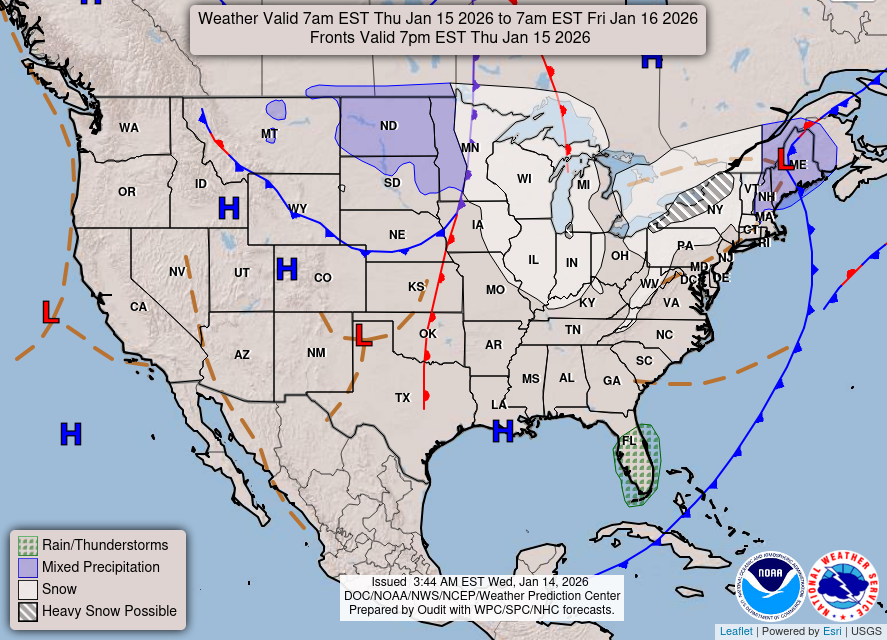
As we look ahead, rain and thunderstorms return late Monday night through late Tuesday night, with chances ranging from 60 to 80 percent across the region. This system will bring increased moisture and instability, leading to the potential for strong storms, particularly Tuesday evening. The National Weather Service notes that “Given the greater instability… this leads to a conditional risk of strong/severe storms.”

Heavy rainfall could also be a concern, with potential precipitation amounts heightened by high moisture levels.
Marine Conditions and Safety
For those venturing out on Lake Michigan, be mindful of rising waves and gusty winds on Tuesday. Conditions are expected to become hazardous for small craft, increasing the risk of rip currents, especially into Wednesday morning.
Winds will be gusty, reaching up to 25 mph on Tuesday and even more on Wednesday, so be prepared if you’re out on the water.
Temperatures Ahead
Following this unsettled weather, high temperatures are expected to remain above normal through next weekend, providing warm days ahead after the midweek system passes.
For updated forecasts where you live check out our Forecasts Page.
Source: NWS GRB Area Forecast Discussion, issued 2026-09-06T19:15:00+00:00.
