

As we move through the latter part of the day, expect a mix of warm and cooler temperatures across Northwest Wisconsin. While areas along the North Shore may see cooler conditions in the low 60s, the rest of the region will enjoy temperatures ranging from the upper 60s to low 70s. Winds will be light from the north at 5 to 10 mph.
High pressure will keep the weather stable for the next couple of days. However, as a cold front approaches from the northwest, we will begin to see changes later this week.
For today’s weather, see the WPC Day 1 map below:

Looking Ahead: Rain and Cool Temperatures
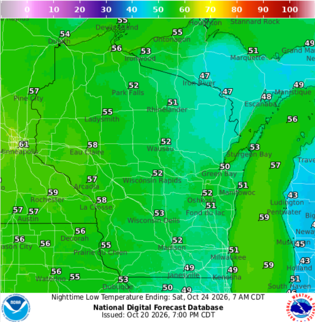
As we head into Friday and Saturday, a shift in the weather pattern will bring a chance for rain to the area. The National Weather Service has marked a 20-40% probability for rain as a warm front moves northward from the Rockies. The best chances for precipitation will appear Friday afternoon and continue into Saturday, particularly over the Iron Range and Borderlands. Rain amounts are expected to be light, with most areas receiving less than a tenth of an inch.
This increase in cloud cover and potential rainfall will not stop the above-normal temperatures from sticking around. Saturday will still see highs 15-25 degrees above normal before a return to near-normal temperatures on Sunday, offering highs around the mid-40s to low 50s.
For tomorrow’s weather, see the WPC Day 2 map below:
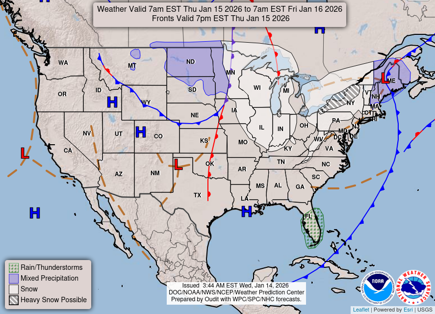
Remember, the upcoming cooler weather will coincide with the arrival of a high-pressure system, which is likely to keep precipitation chances low starting early next week.
“Temperatures will remain well above normal as winds turn southerly,” noted the NWS today.
Stay updated on the latest weather forecasts and conditions in your area. For updated forecasts where you live check out our Forecasts Page.
Source: NWS DLH Area Forecast Discussion, issued 2026-10-20T18:21:00+00:00.
