


3 Things To Know:
- Patchy dense fog is expected tonight, potentially reducing visibility to below 1/2 mile.
- Dry and mild conditions are forecast through Saturday with highs reaching the upper 60s.
- A slight chance of light rain showers is possible Saturday night into Sunday.
Weather Overview
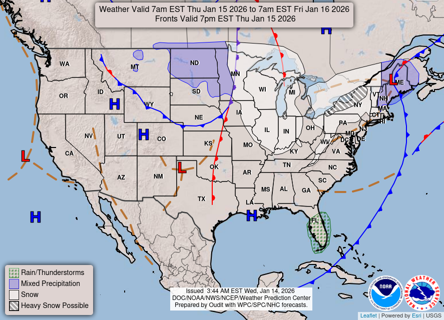
Today’s weather pattern is shaped by strong high pressure located over northern Ontario and Quebec. This system is keeping conditions calm across northeast Wisconsin. Expect clear skies this afternoon, with a gradual warming trend. The high temperature inland could reach into the middle 60s, while lakeside areas may remain cooler due to onshore breezes.
As night falls, clear skies and light winds will create ideal conditions for fog development.
“Patchy dense fog will develop late tonight into Wednesday morning across east-central Wisconsin and areas west of Green Bay.”
Visibility could drop below 1/2 mile in the most affected areas. However, confidence is high that fog will dissipate by mid-morning on Wednesday as temperatures rise.

Looking Ahead: Mild Days and Weak Rain Chances
The forecast remains quiet through Saturday with persistent atmospheric ridging keeping conditions mild and dry. Highs across the region will range from the upper 60s to lower 70s inland, while lakeshore areas will be slightly cooler. Expect filtered sunshine with little to no precipitation.
The only notable change is a weak cold front expected Saturday night into Sunday. There is a 20 to 30 percent chance of light rain showers, primarily in central and northern Wisconsin. However, rainfall amounts are expected to be minimal, underscoring the lack of significant moisture with this system.
Temperatures will begin to cool down after the weak front passes, bringing daytime highs into the 50s early next week.
For updated forecasts where you live check out our Forecasts Page.
Source: NWS GRB Area Forecast Discussion, issued 2026-10-20T16:47:00+00:00.
