

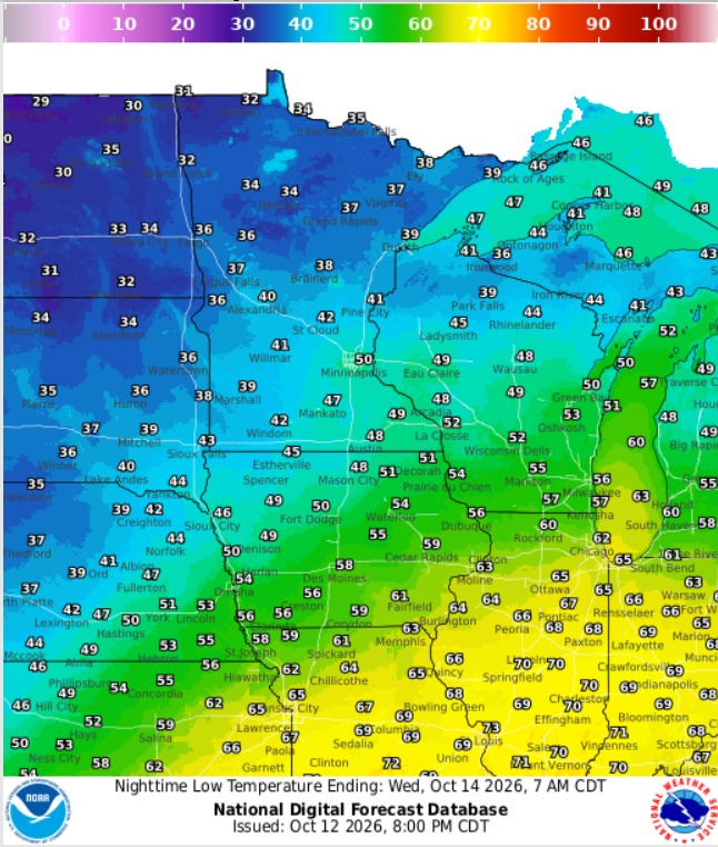
3 Things To Know:
- Light rain is expected this evening, especially in the northern part of the region.
- Chances for more widespread precipitation arrive late this week with potential cool downs.
- Temperatures will trend downward by the end of the week, with possible snowflakes in northern areas.
Monday Evening Weather Overview
Monday evening, a surface low pressure system will move into Northeast Wisconsin, bringing with it light rain and a chance of thunder. Light rain will likely start as early as early evening, particularly affecting areas north of a line from Merrill to Oconto. Here, the chance for precipitation is highest, at 70-90%. In southern areas, chances are lower, around 20-40%. Expect some brief but measurable rain, especially for northern Wisconsin, where a half-inch of rain may be possible.
Probabilistic guidance indicates the likelihood of rain tapering off towards the south. A few rumbles of thunder could occur, but widespread thunderstorms are unlikely.
Here’s the latest WPC Day 1 map, which shows the expected rain distribution across the region:

Looking Ahead to Late This Week
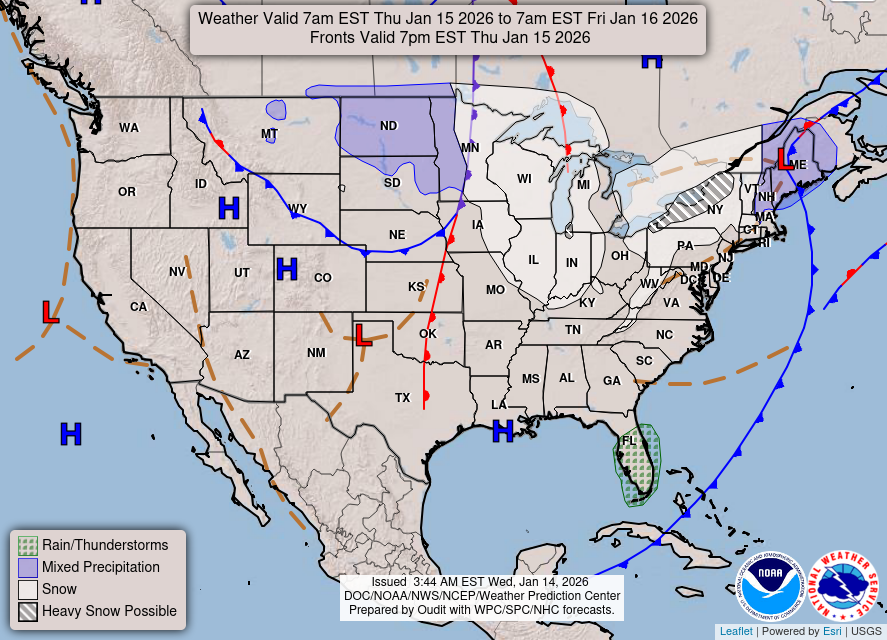
As we look toward the end of the week, another weather system will approach, merging southern and northern streams. While the timing remains uncertain, rain is expected to begin late in the morning or afternoon on Friday and could continue into the overnight hours. Depending on how this weather system develops, we may see dry conditions return by Friday morning, or a possibility of lingering showers through the afternoon.
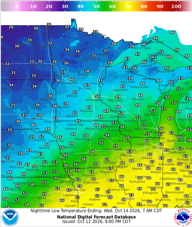
Cold air will follow this system, potentially bringing the first snowflakes of the season to far north-central Wisconsin, particularly near the Upper Peninsula border. Accumulations are expected to be light and brief.
As for temperatures, today marks the warmest day of the week, but they will take a downward turn heading into Friday, with highs ranging from the upper 40s in the northwoods to the middle 50s in other areas. A slight warm-up is expected over the weekend.
Here’s the WPC Day 2 map for further insights on Friday’s precipitation:
Stay informed and prepared as we transition to cooler weather and increased chances of rain. For updated forecasts where you live, check out our Forecasts Page.
Source: NWS GRB Area Forecast Discussion, issued 2026-10-12T19:23:00+00:00.
